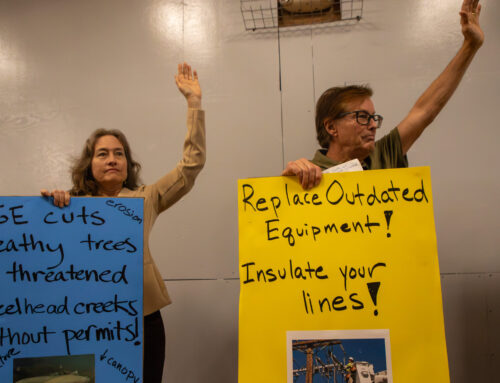
Storm damage prompts the closure of Schulties Road in the Santa Cruz Mountains in 2023. (Jesse Kathan — Santa Cruz Local file)
SANTA CRUZ >> A new report examines how climate change is expected to endanger Santa Cruz County roads, bridges and parts of the Santa Cruz Branch Rail Line in the rail trail project.
The report isn’t a plan to prioritize potential fixes. Rather, it gives local officials “a more all-encompassing understanding of what we’re up against,” and helps make the case for grant funding to federal and state agencies, said Brianna Goodman, transportation planner for the Santa Cruz County Regional Transportation Commission.
The draft Climate Adaptation and Vulnerability Assessment, published in December, is a joint effort of county and regional transportation commission staff. It examined how climate change could endanger county roads, bridges and culverts, plus parts of the Santa Cruz Branch Rail Line corridor. Staff plan to seek state and federal dollars for roads and other infrastructure before more problems surface.
The study’s authors incorporated two elements into the vulnerability scores: the chance of severe weather damaging a road or rail corridor segment, and how acutely the damage would affect residents.
- To determine which areas are most physically vulnerable to damage, researchers used climate models to project the future risk of landslide, fire, flooding and erosion as global greenhouse gas emissions are expected to rise and the climate warms over the next 75 years.
- To incorporate the potential impacts on people, the ranking considered a host of other criteria, including whether a road was an evacuation route, or whether it served people with low incomes.
The highest-risk roads include Lompico, Empire Grade, Soquel San Jose, and Eureka Canyon roads.
The ranking came as no surprise to Dave Reid, director of the county’s Office of Response, Recovery, and Resilience. Efforts to find funding for improved evacuation routes in Lompico are already underway, he said.
“The comprehensive nature of this study helps to validate what we’ve lived,” he said.
Goodman, the transportation planner, also was unsurprised by the results that showed the areas of the rail corridor most vulnerable to climate impacts. Those include Santa Cruz by Beach Street and Harkins Slough, both of which are vulnerable to flooding.
Other vulnerable areas include River trestle, La Selva Village, Capitola Village and the Pajaro River floodplain in Watsonville.
“It was honestly nice to have all the latest climate data and climate models sort of corroborating what we more or less already knew,” Goodman said.
Other areas of high vulnerability on the rail line included Murray Street near the Santa Cruz Small Craft Harbor, the Highway 1 crossings in Aptos and Rio Del Mar and areas near La Selva Beach.

A map shows sections of the Santa Cruz Branch Rail Line ranked by priority for climate adaptation. Santa Cruz near the wharf and boardwalk, the rail line as it crosses Highway 1 and near La Selva Beach were high priorities. (Santa Cruz County Regional Transportation Commission)

Some roads in red such as Old San Jose Road are vulnerable to heavy rain and floods, and county leaders hope to find state and federal money for upgrades. (Santa Cruz County Regional Transportation Commission)
Proactive adaptation can prepare infrastructure for more frequent flooding, wildfire, landslides and other climate hazards, and help prevent bridges from collapsing or roads from eroding. But in Santa Cruz County, coffers are already strained from years of disasters and lagging reimbursements from the Federal Emergency Management Agency.
Now, county staff will work with the Santa Cruz County Board of Supervisors to submit grant applications for adapting specific roads to climate impacts. Following ongoing wildfires in Los Angeles, funding may be available for adaptation through the Federal Emergency Management Agency, Reid said.
Regional transportation commission staff are embarking on another study to identify specific adaptation strategies in high-risk areas of the corridor. The report is expected in 2027.
Read more
Questions or comments? Email [email protected]. Santa Cruz Local is supported by members, major donors, sponsors and grants for the general support of our newsroom. Our news judgments are made independently and not on the basis of donor support. Learn more about Santa Cruz Local and how we are funded.

Jesse Kathan is a staff reporter for Santa Cruz Local. They hold a master's degree in science communications from UC Santa Cruz.