Transportation News > Road safety, rail trail, traffic, street maintenance and public transit shape how we move in Santa Cruz County.
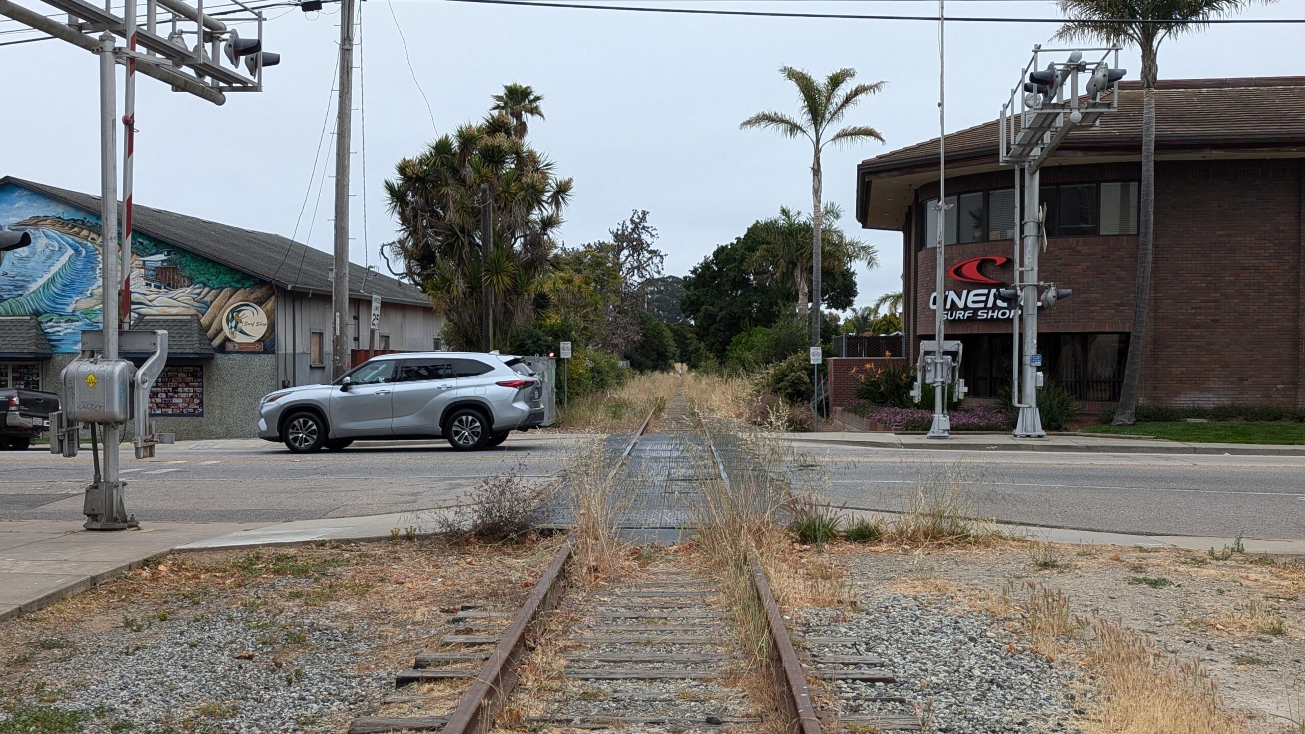
Rail trail map and updates
View Santa Cruz Local’s rail trail map and tracker for the latest updates.
Santa Cruz Local provides deep and forward-looking coverage of our county’s road maintenance, traffic safety, plans for the rail corridor, walking and biking infrastructure and solutions to transportation challenges.
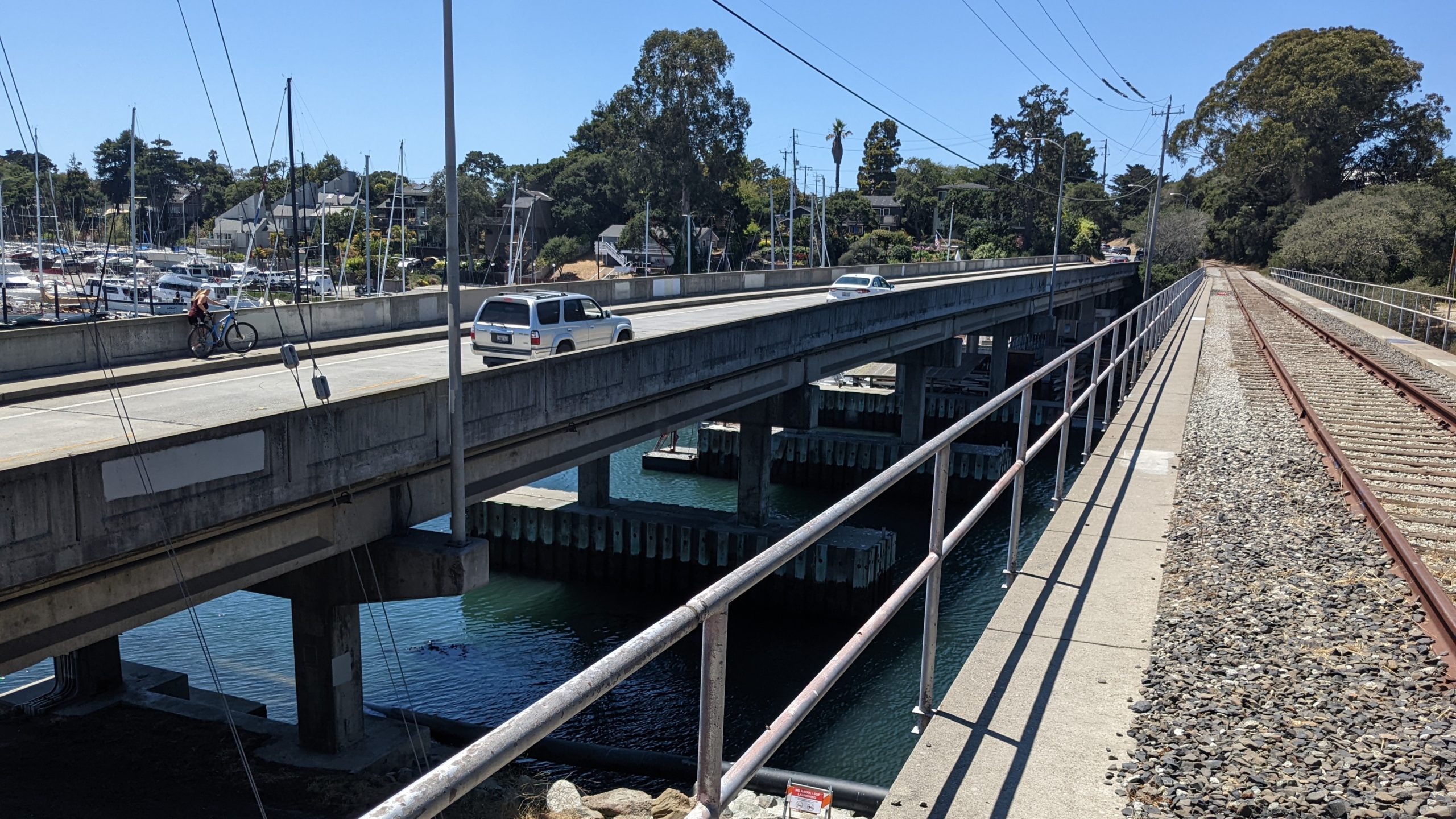
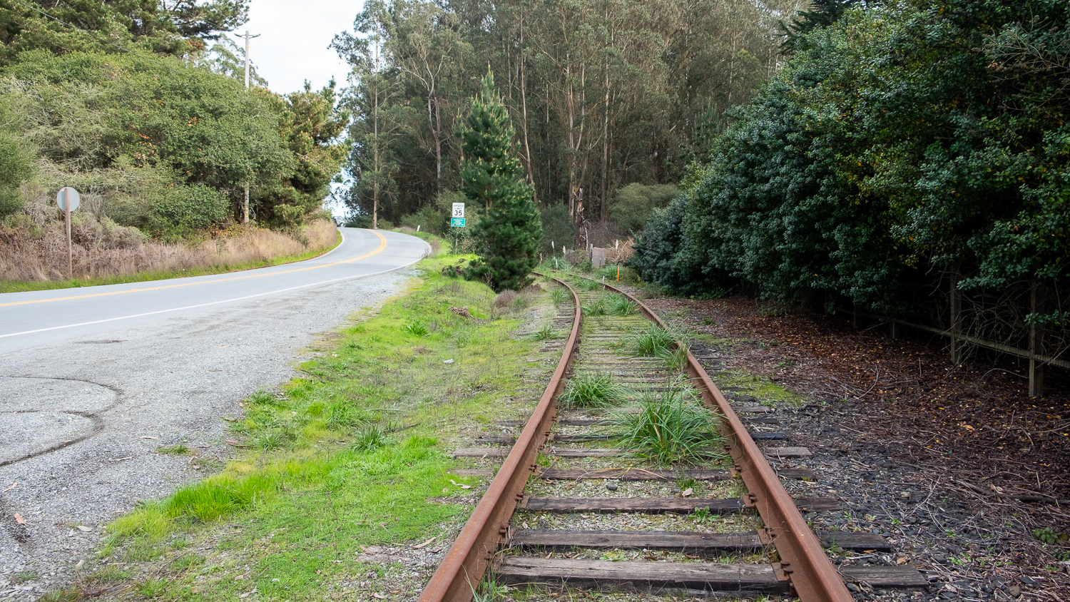
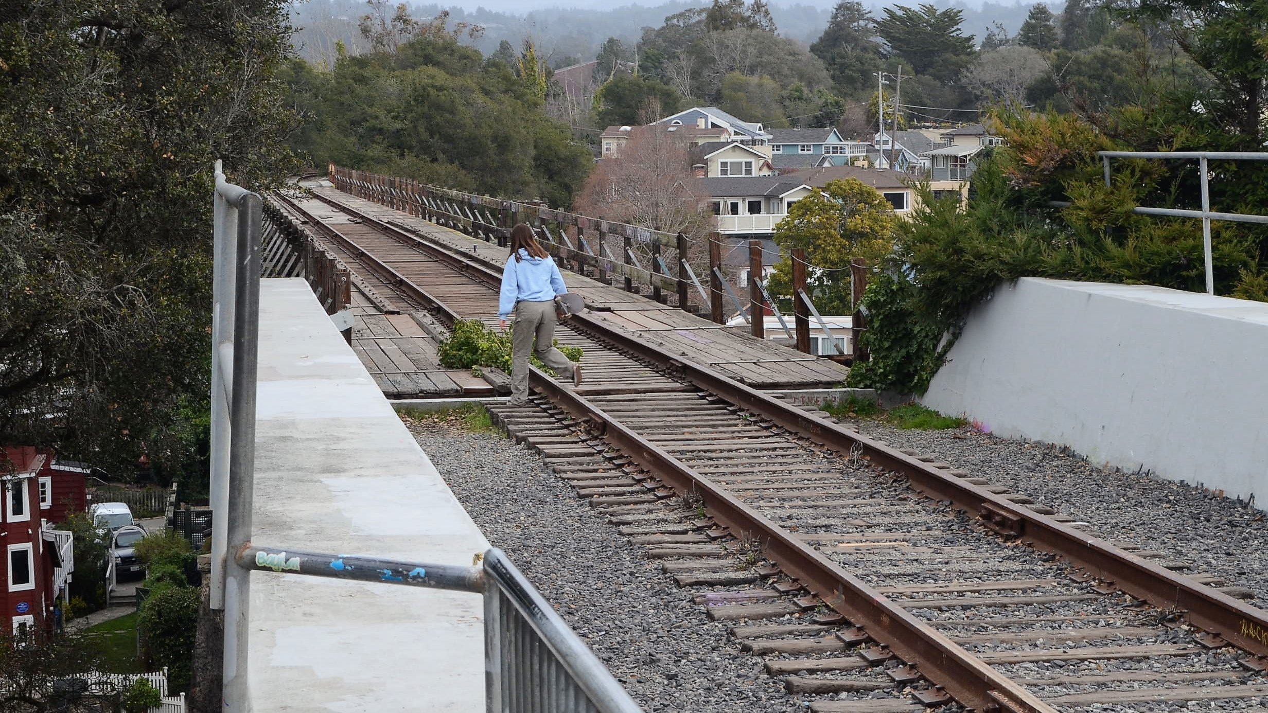
Santa Cruz harbor rail bridge could open for biking, walking
Also: final rail planning report expected in December
Passenger rail could require sales tax hike to 12% in Santa Cruz County
Transportation commission to discuss report Thursday
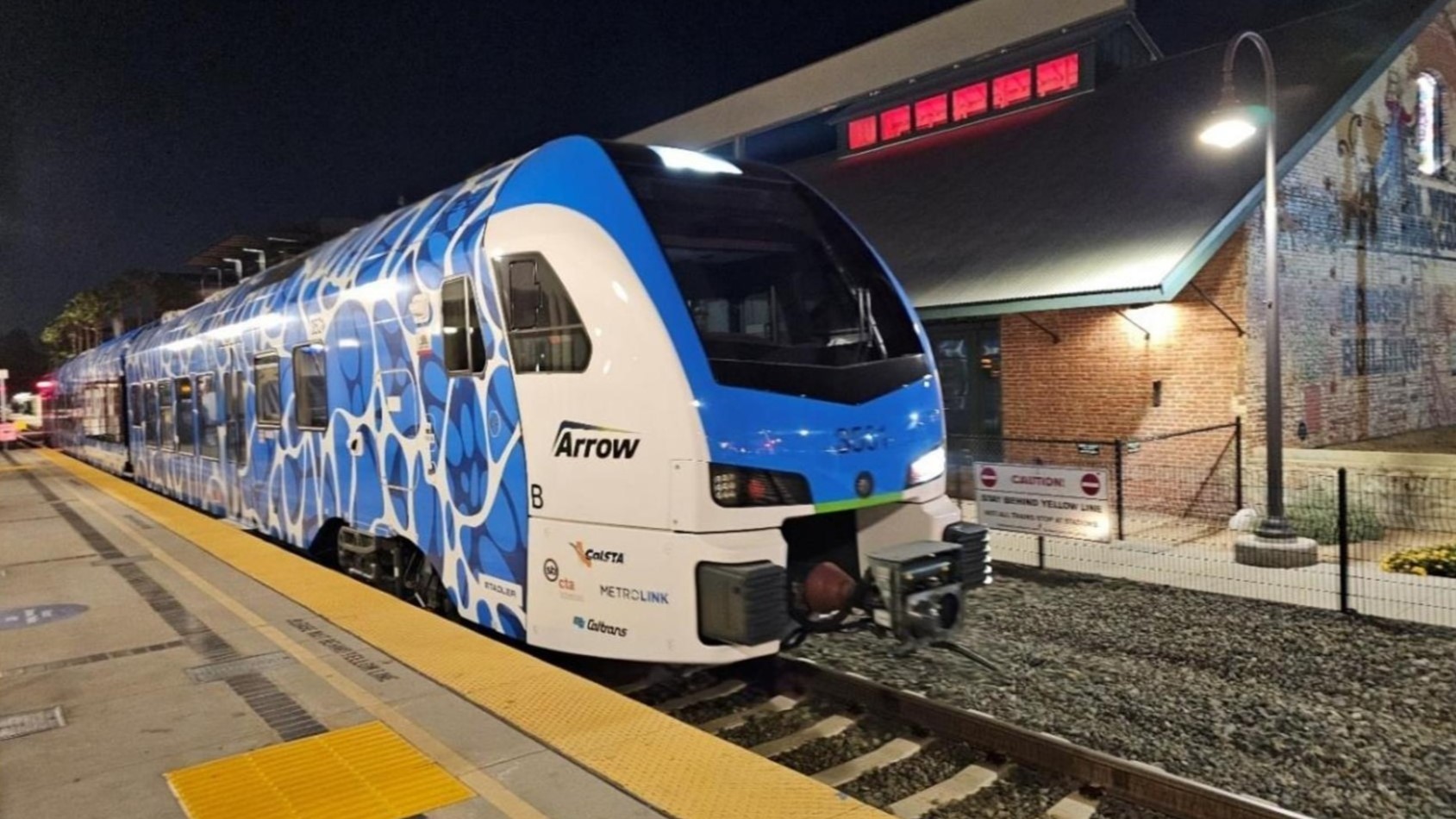
Report describes $5 fares, potential train frequency in Santa Cruz County
Future of rail project to be discussed at Thursday meeting
Help make highways safer in Santa Cruz County
Survey will help guide improvements
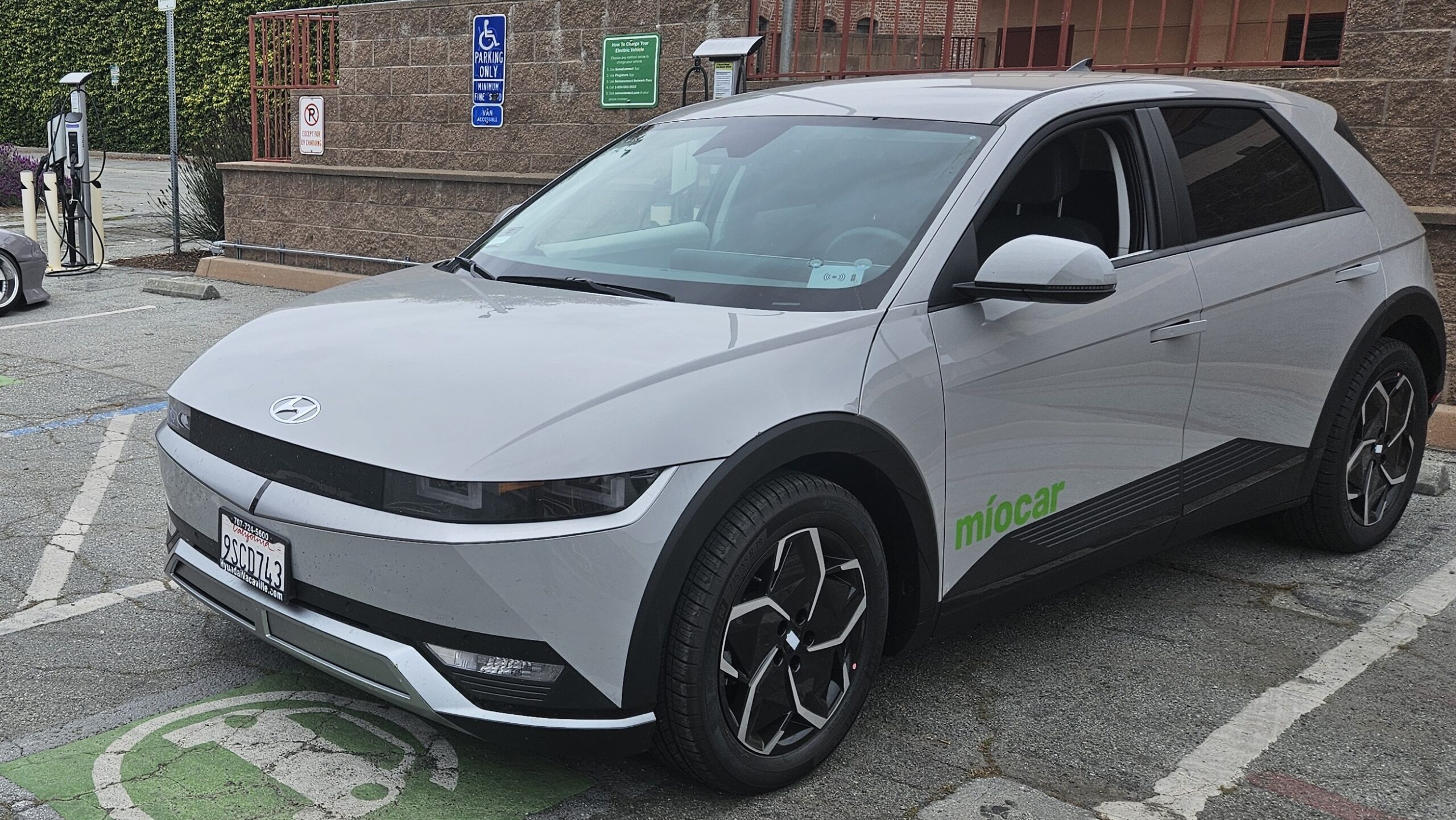
Electric carshare program to launch in Watsonville
Nonprofit Míocar to offer 8 cars in pilot program
Passenger rail input wanted in Santa Cruz, Watsonville
Feedback wanted by Aug. 15
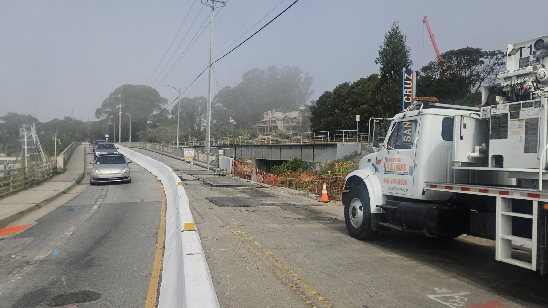
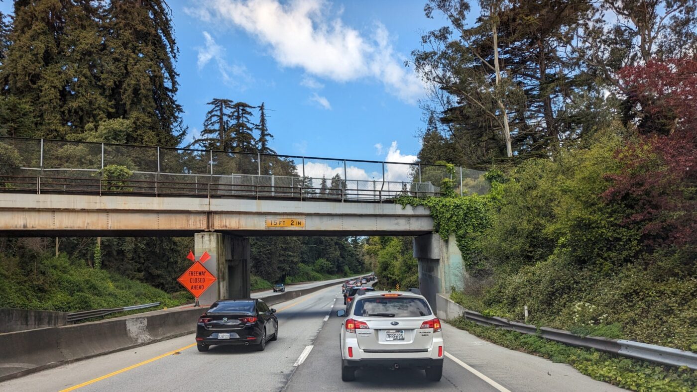
Santa Cruz harbor bridge to close Monday for 7 months
Shutdown set through January
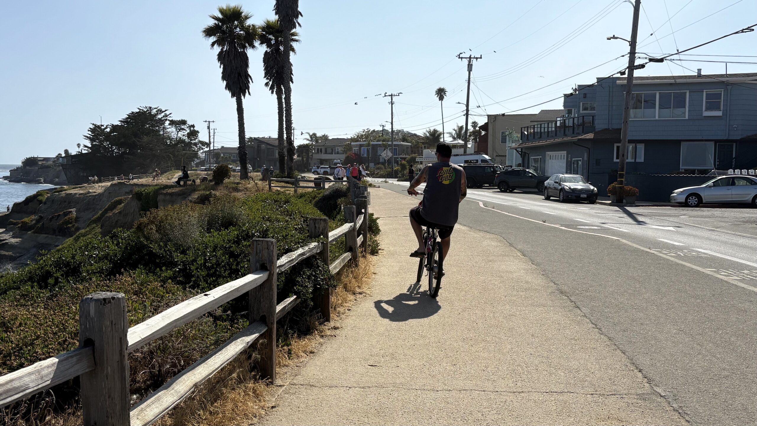
Bike path could change on East Cliff Drive in Pleasure Point
Survey respondents prefer separated bike lane
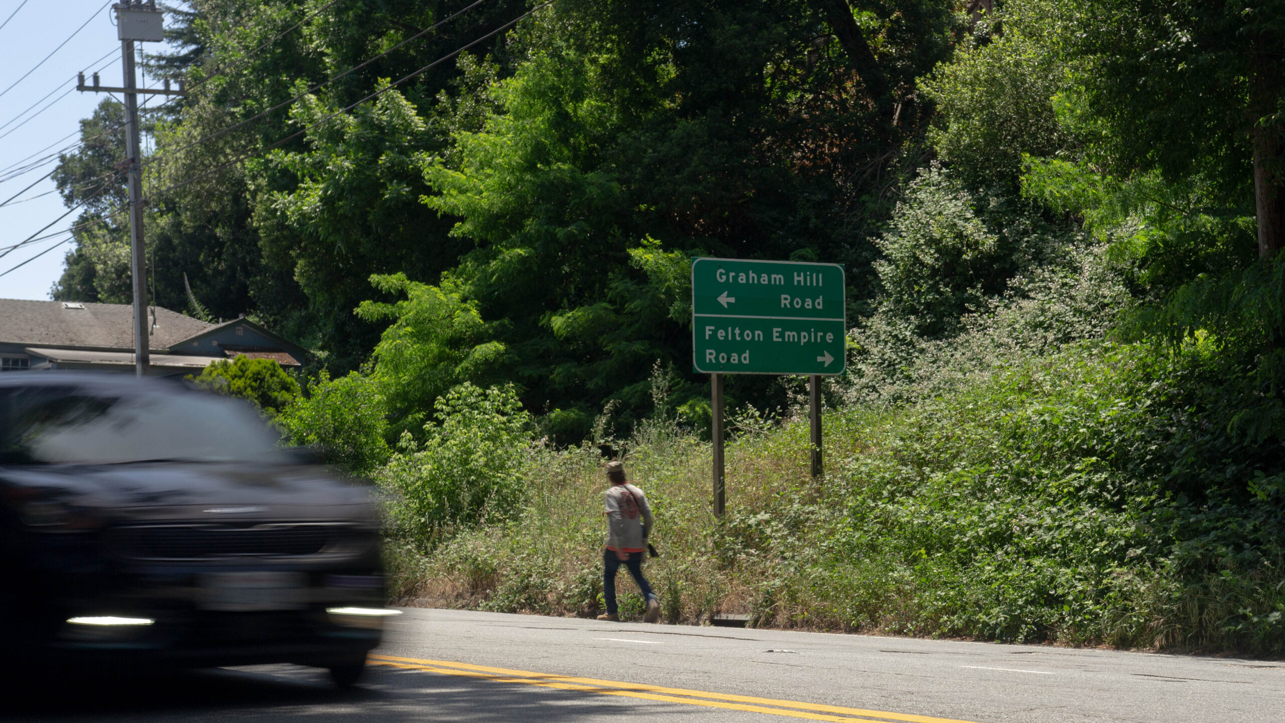
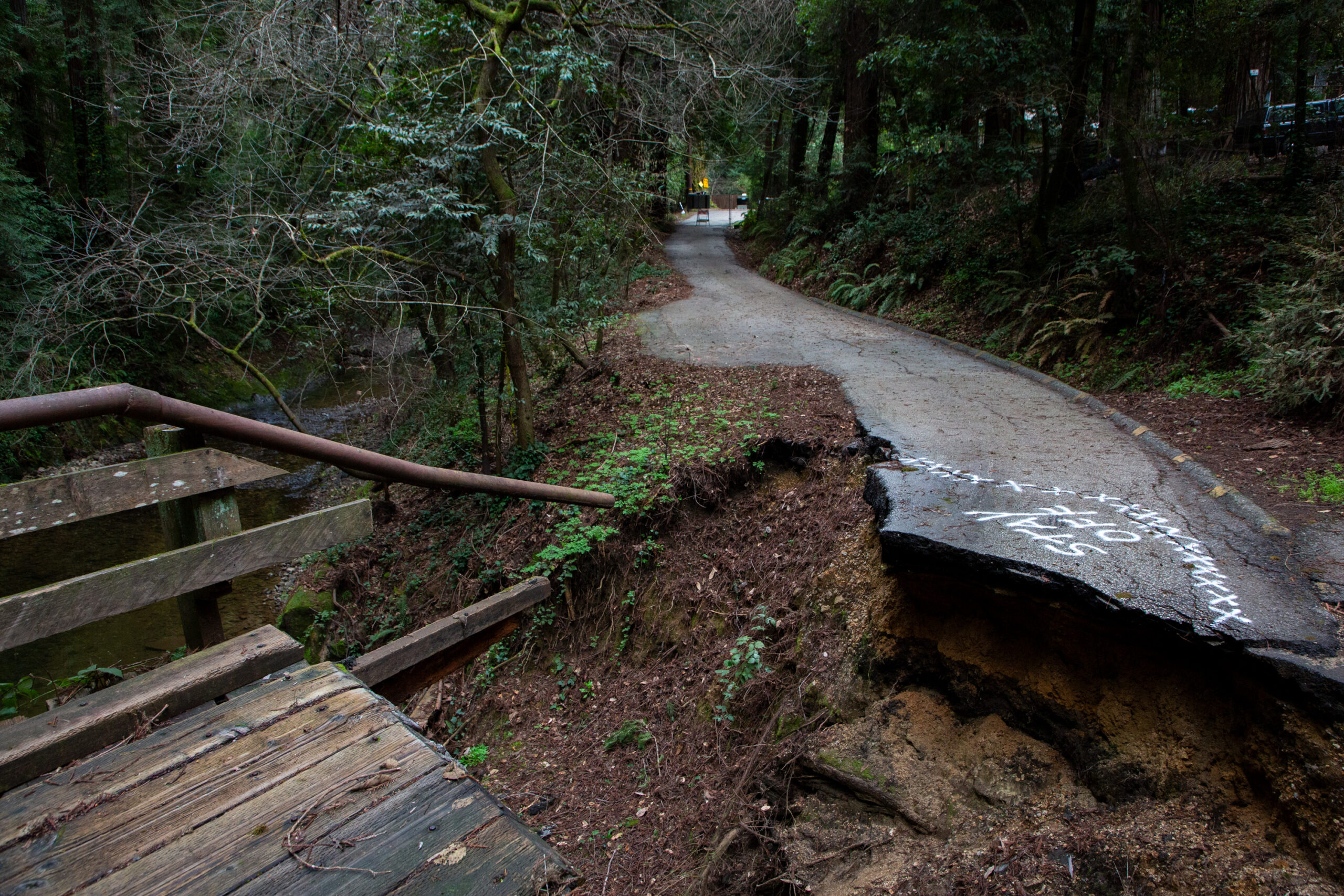
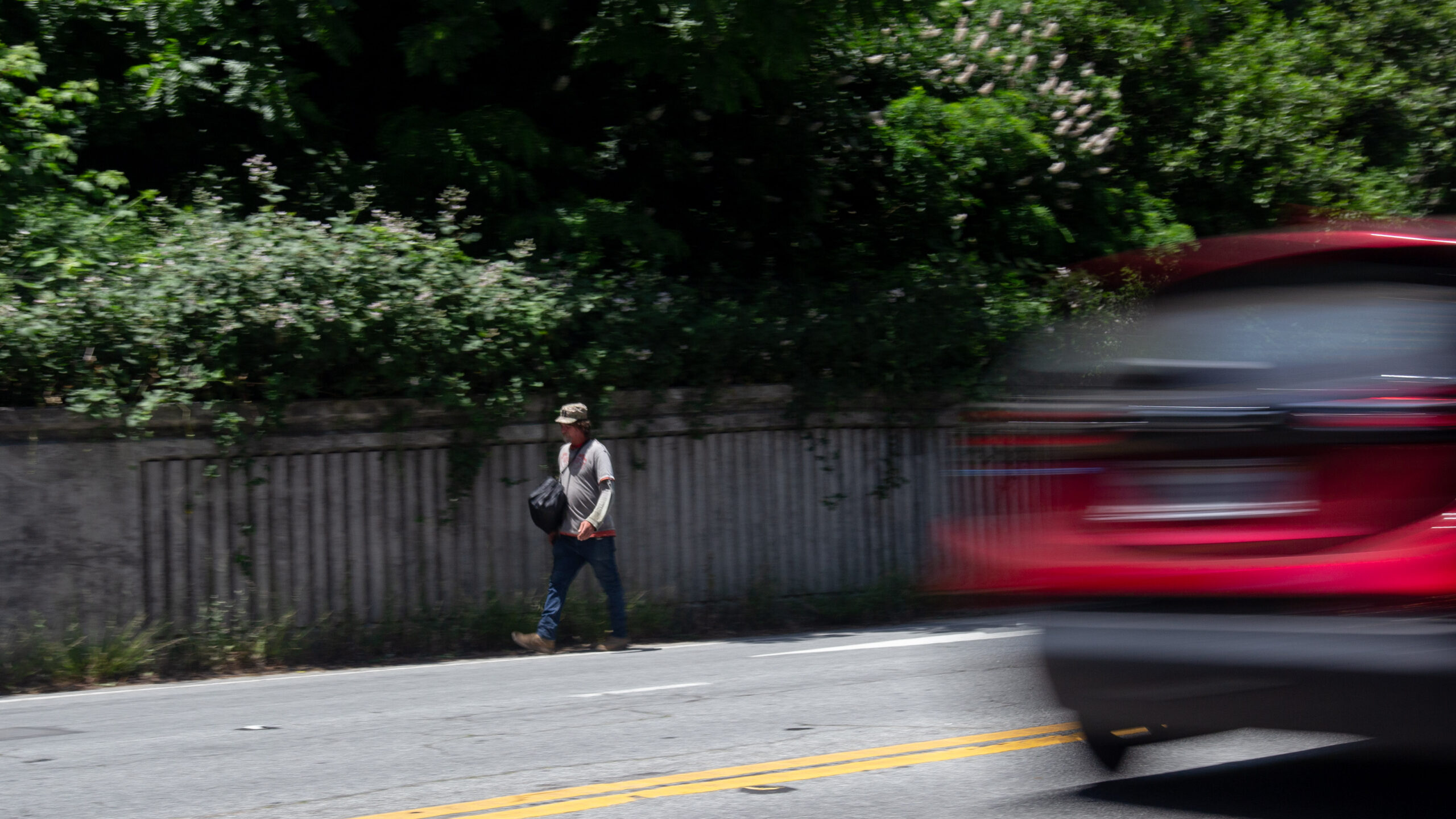
Years after fatal crash, a mother awaits change on Highway 9
Sidewalk due on Highway 9 near Graham Hill Road by 2027
Felton sidewalk project to start this fall, more ahead
Work expected near San Lorenzo Valley High School
Transportation commissioners ask for tax hike info in train proposal
Passenger rail could cost $4.3 billion, sap money for roads
Report projects $4.3 billion price tag for Santa Cruz County passenger rail
40-minute train from Santa Cruz to Pajaro envisioned
Passenger rail costs, rider estimates on tap for Santa Cruz County
Meeting set for June 9
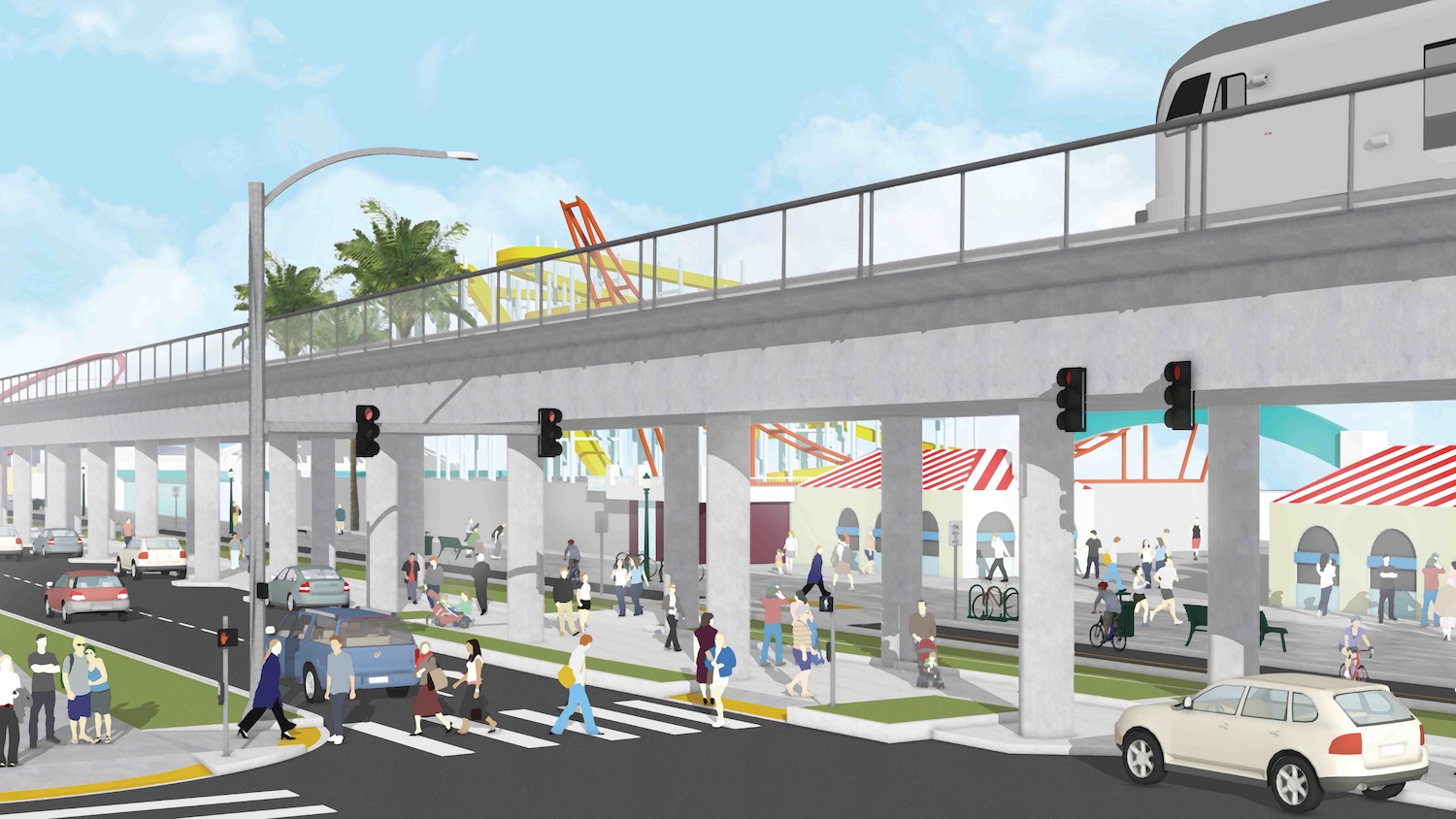
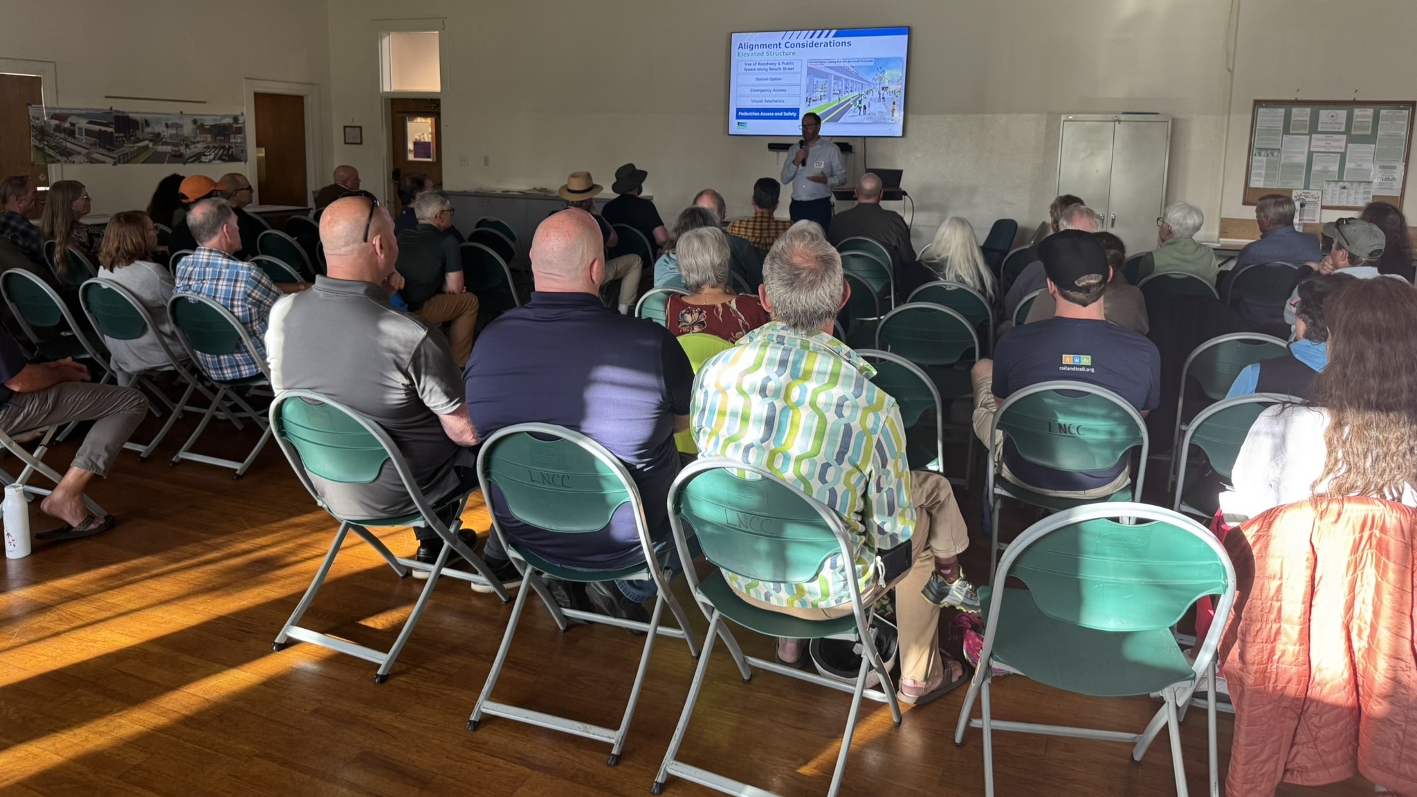
Santa Cruz passenger rail options outlined
Potential stations described near Depot Park, Natural Bridges Drive
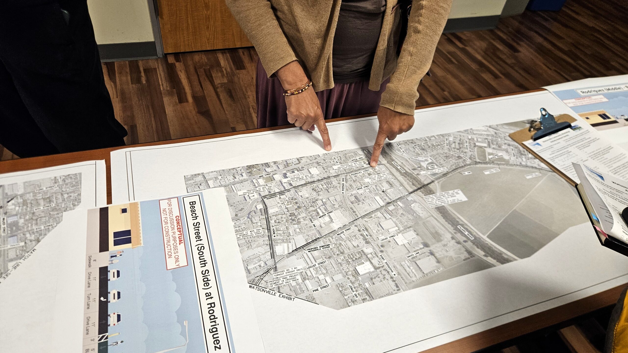
Watsonville rail trail, train depot options presented
Maps show potential routes on Walker, Beach streets
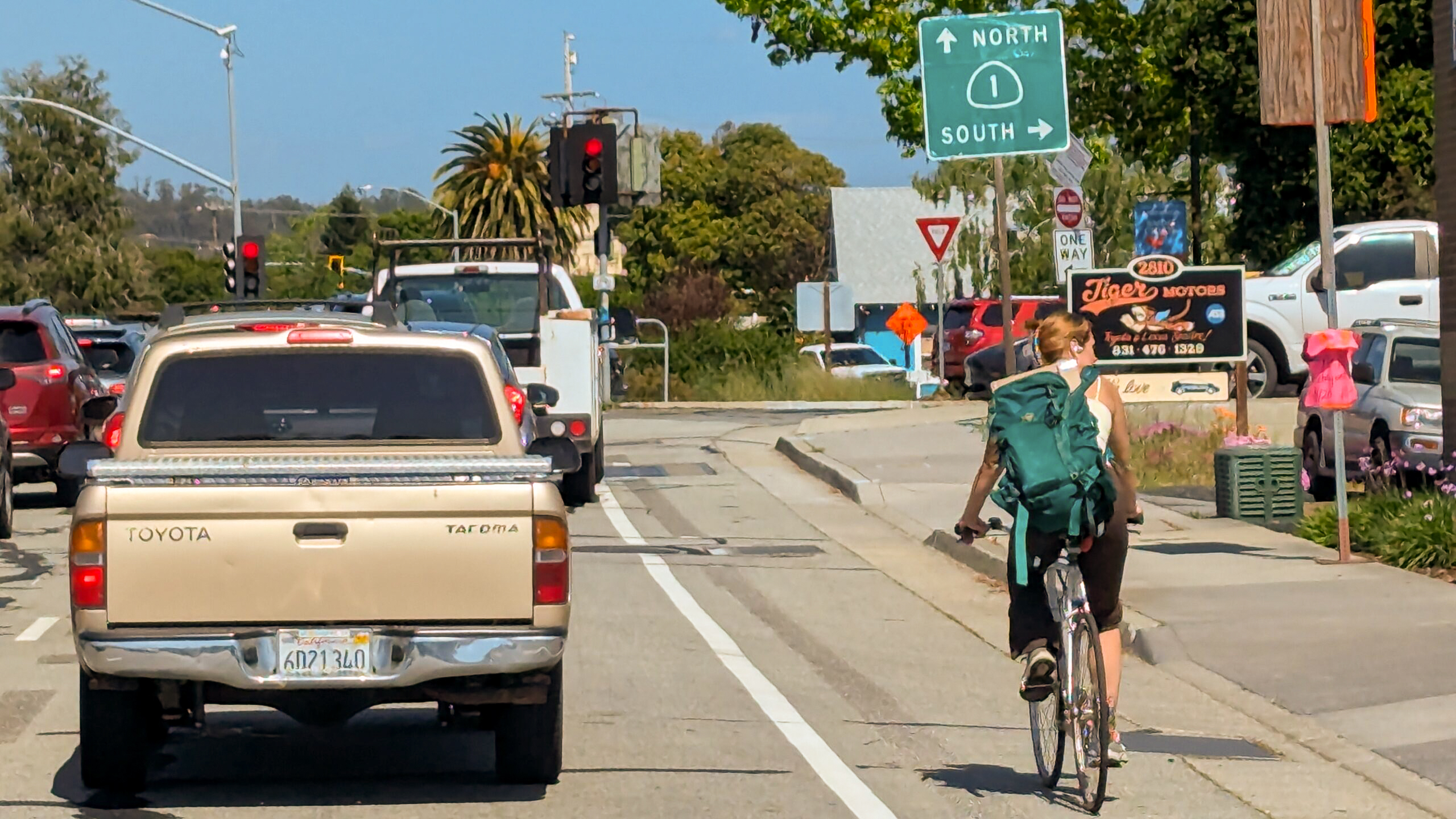
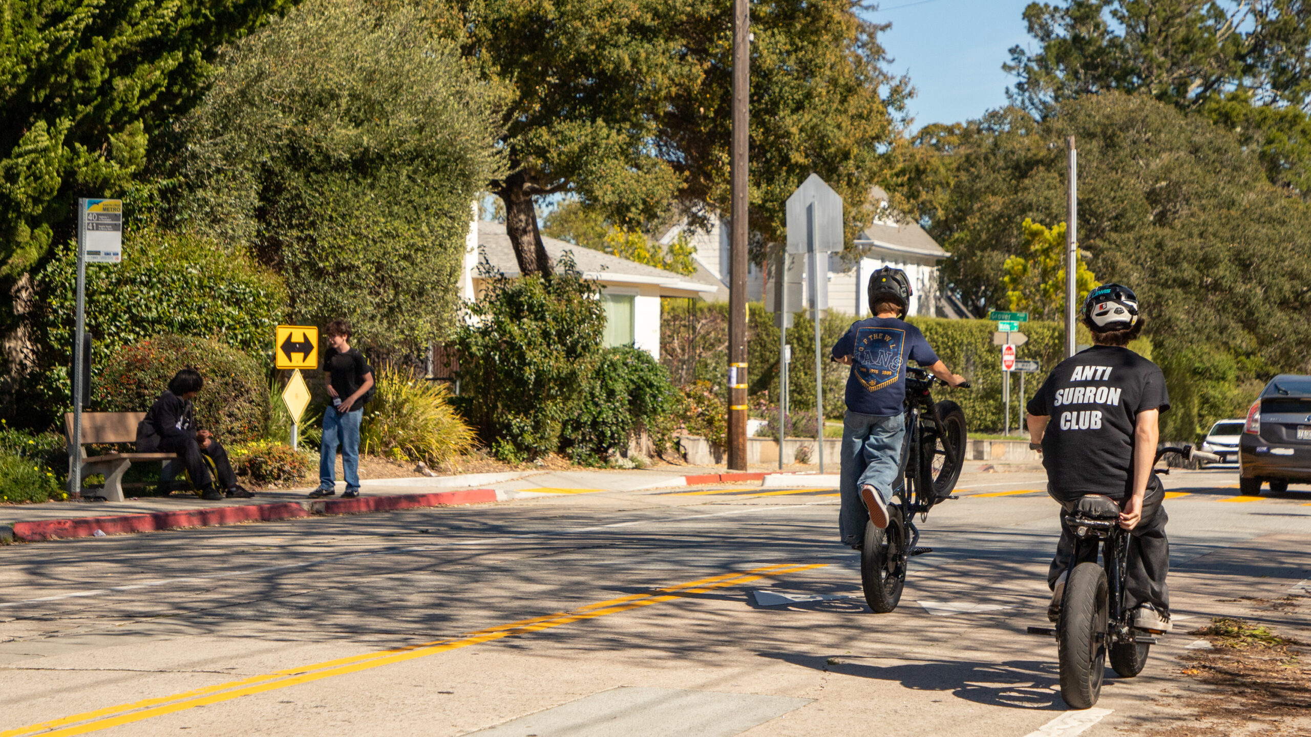
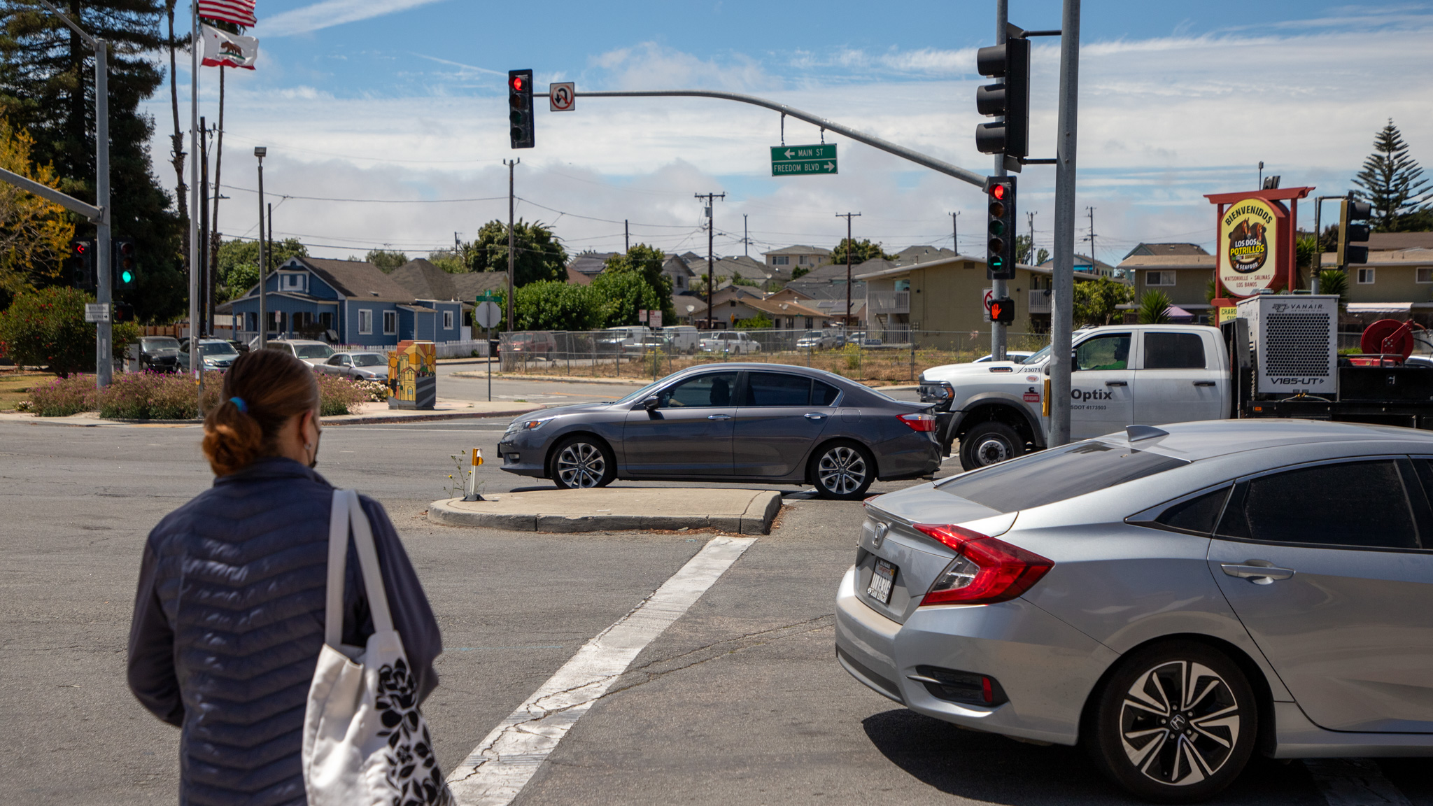
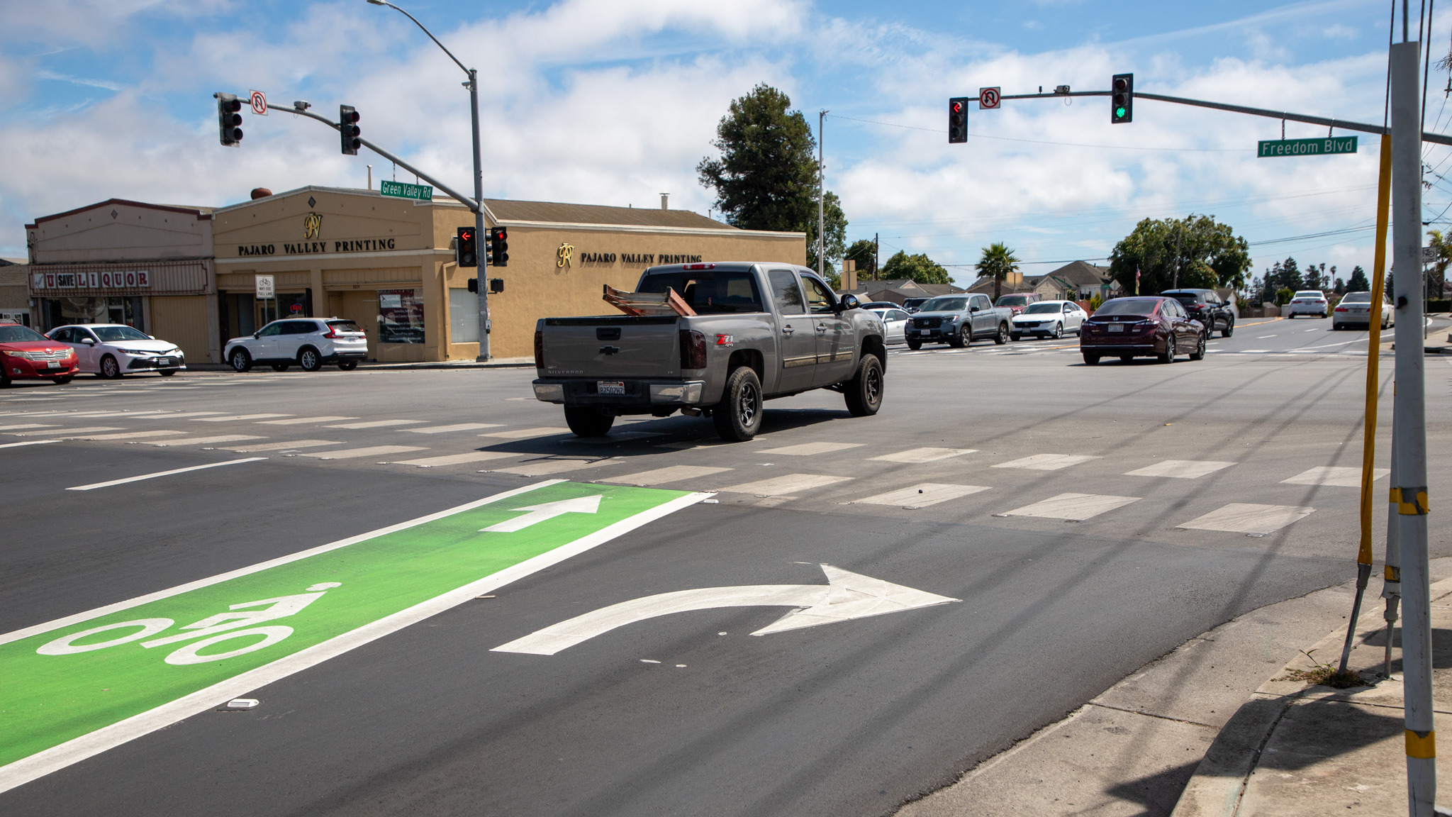
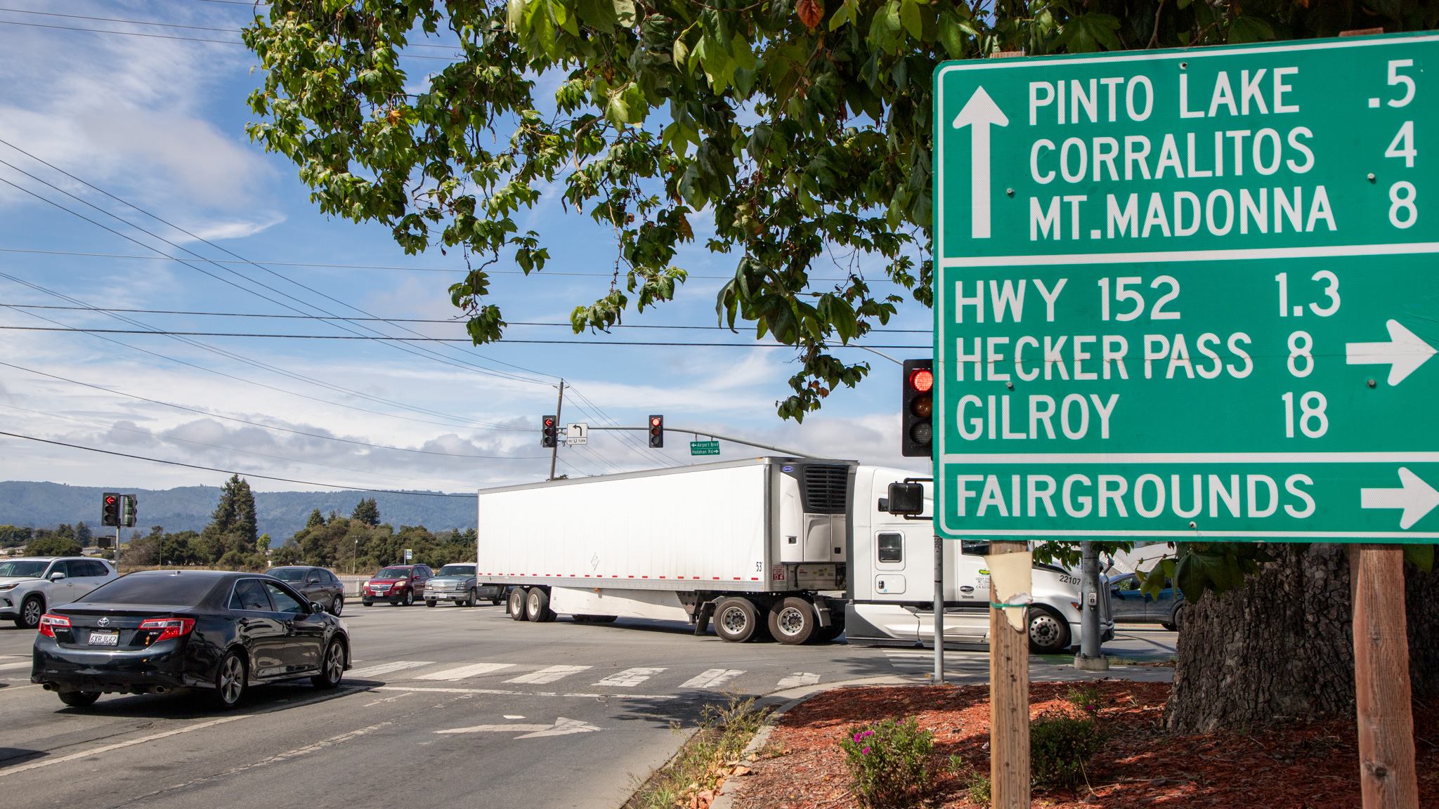
Map: Santa Cruz County’s most dangerous roads for cyclists and pedestrians
Crash hotspots on Ocean St., Freedom Blvd., Soquel Drive
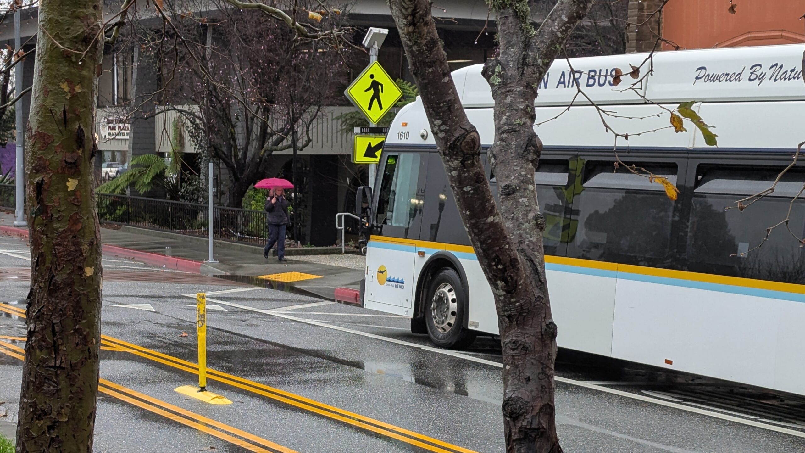
Free bus rides in Santa Cruz County on Tuesday
Plus, a Watsonville Earth Day event April 27
Capitola council rejects Park Ave. bike path proposal
Despite higher cost for transportation commission, many residents want trail in rail corridor

Capitola City Council to revisit Park Ave. rail trail plan
Meeting on Thursday, April 17

Cabrillo College students propose solutions to commuting problems
Transit advocates at Santa Cruz Local event offer ways to get involved
Rail trail, highway projects could sap Santa Cruz County transportation money for 20 years
Transportation commission to weigh loans in autumn