Transportation News > Road safety, rail trail, traffic, street maintenance and public transit shape how we move in Santa Cruz County.
Rail trail map and updates
View Santa Cruz Local’s rail trail map and tracker for the latest updates.
Santa Cruz Local provides deep and forward-looking coverage of our county’s road maintenance, traffic safety, plans for the rail corridor, walking and biking infrastructure and solutions to transportation challenges.
Rail trail, highway projects could sap Santa Cruz County transportation money for 20 years
Transportation commission to weigh loans in autumn
As highway and trail costs climb, Santa Cruz transportation leaders weigh loans
April 3 transportation commission meeting to tackle budget
Rail options, costs on tap for Santa Cruz County Regional Transportation meeting
Questions remain on funding, design
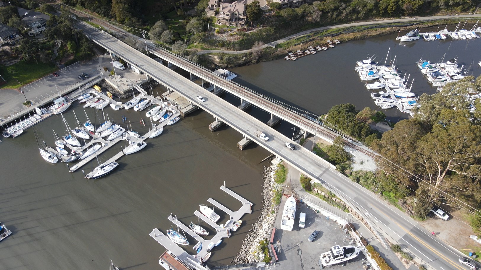
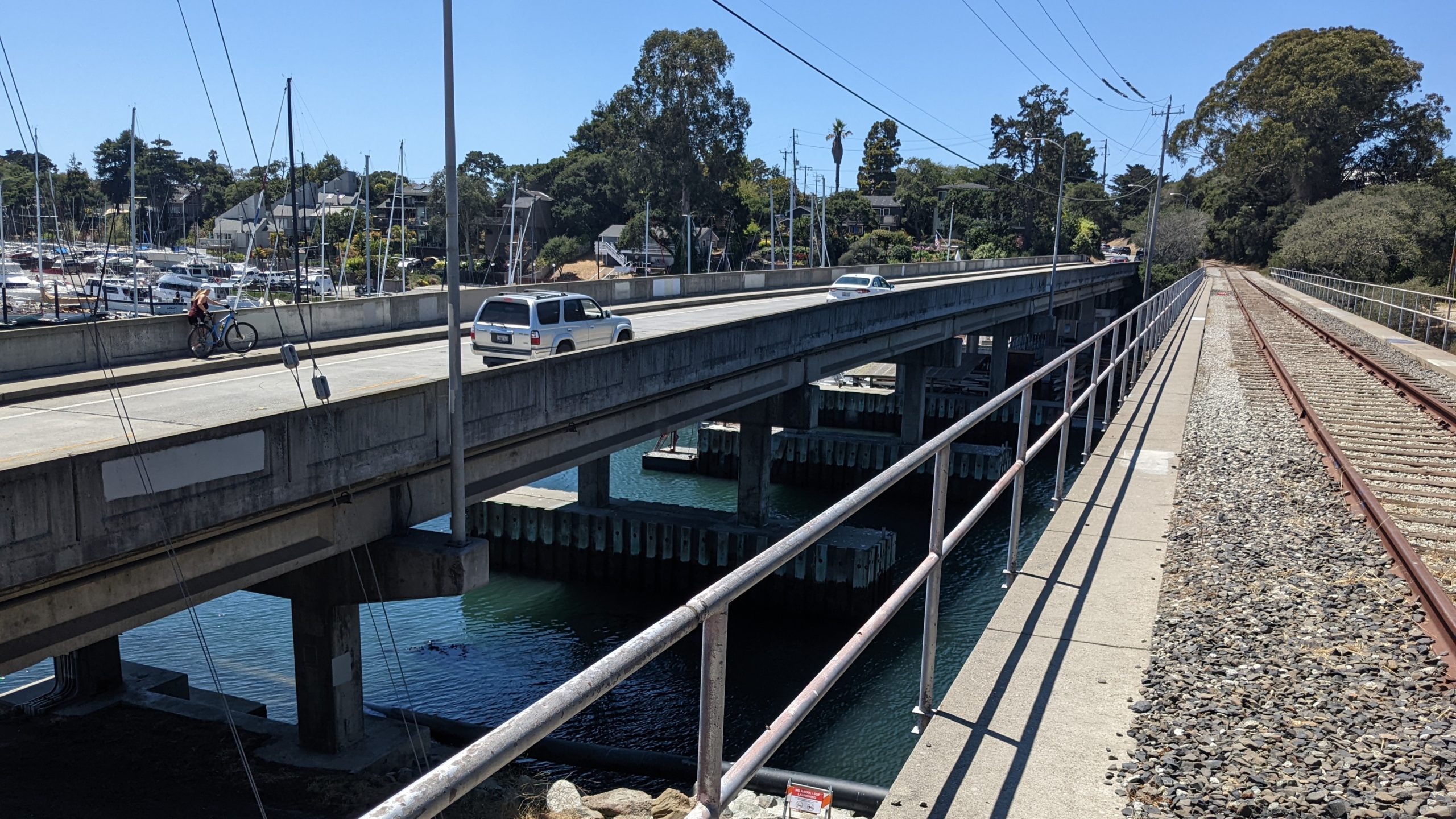
Santa Cruz harbor bridge detours, construction detailed
Quake safety project expected through early 2028
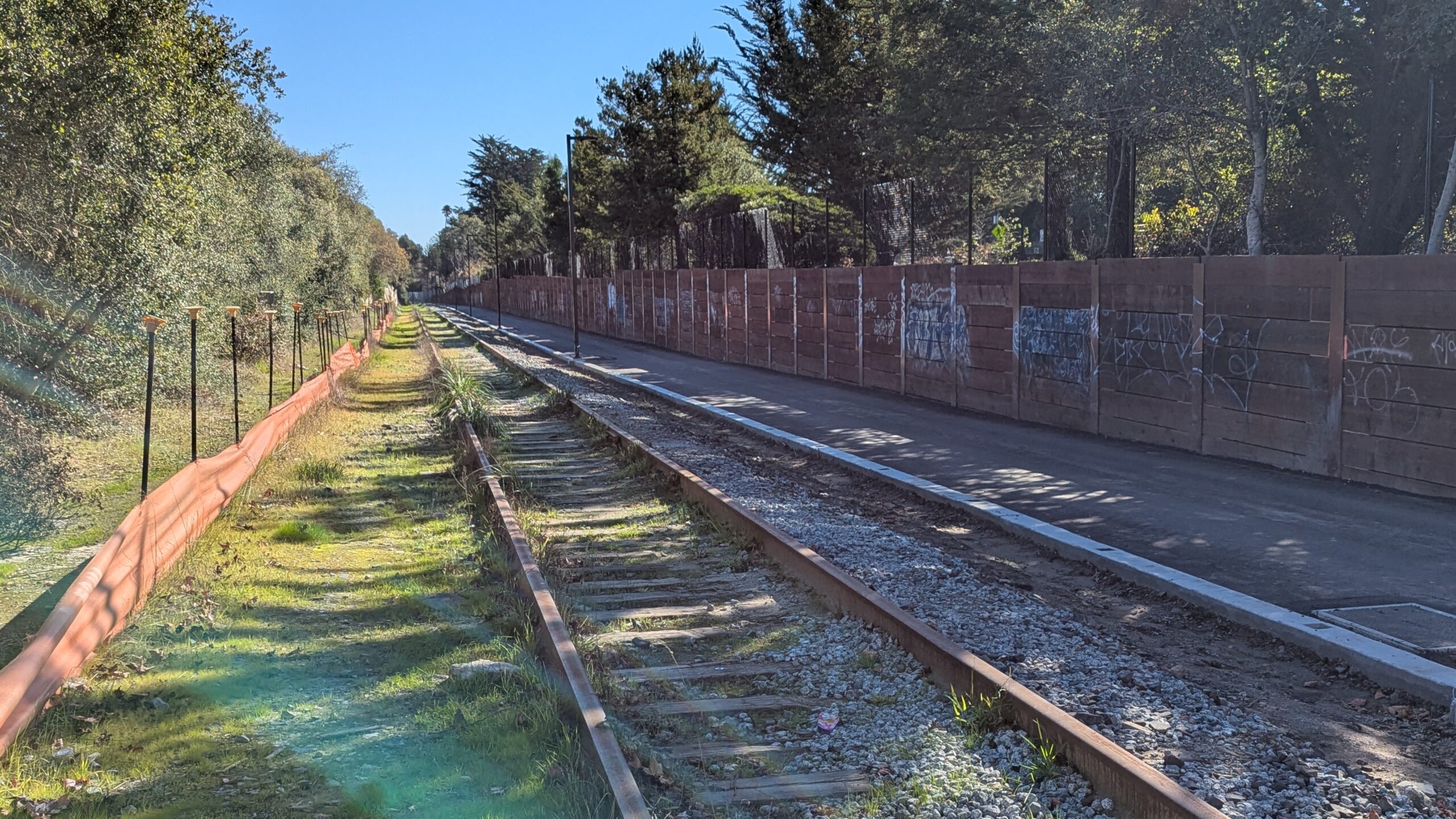
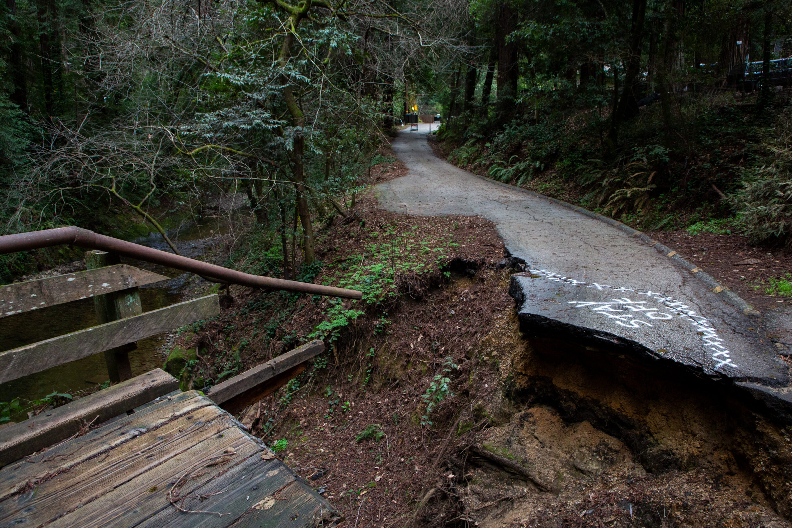
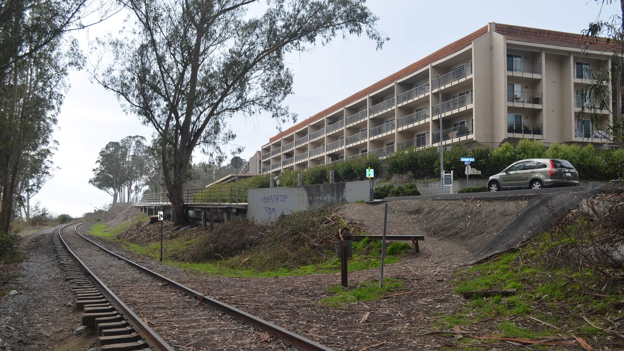
Santa Cruz council approves $900,000 to finish overdue rail trail segment
More than $15 million spent for 0.7-mile path
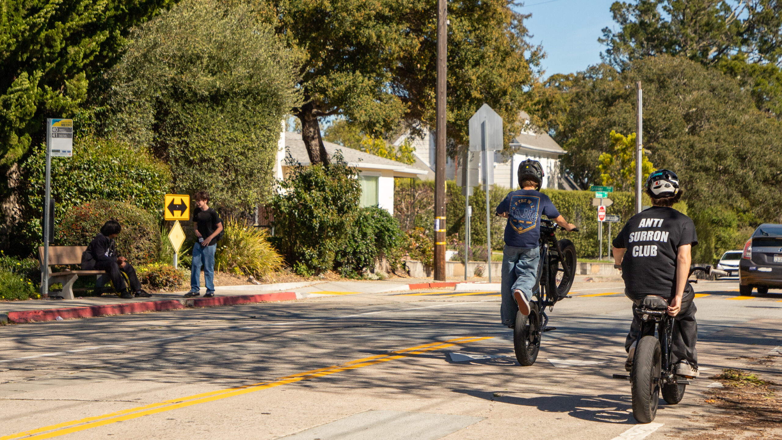
Survey: Santa Cruz County residents describe unsafe cycling areas
Share your priorities for bike and walk improvements
Explainer: Upcoming decisions on the rail trail in Capitola
What to know ahead of the March 4 town hall
Watsonville council members discuss rail trail options
Paths planned near Beach Street, Pajaro Valley High School
Capitola council delays decision on Park Avenue rail trail options
Residents pack meeting, threaten lawsuit

Rail trail, traffic calming projects on tap for Watsonville City Council
New law makes parking within 20 feet of crosswalk illegal
New mayor, Green Valley Road upgrades on tap in Watsonville
Dec. 10 city council meeting
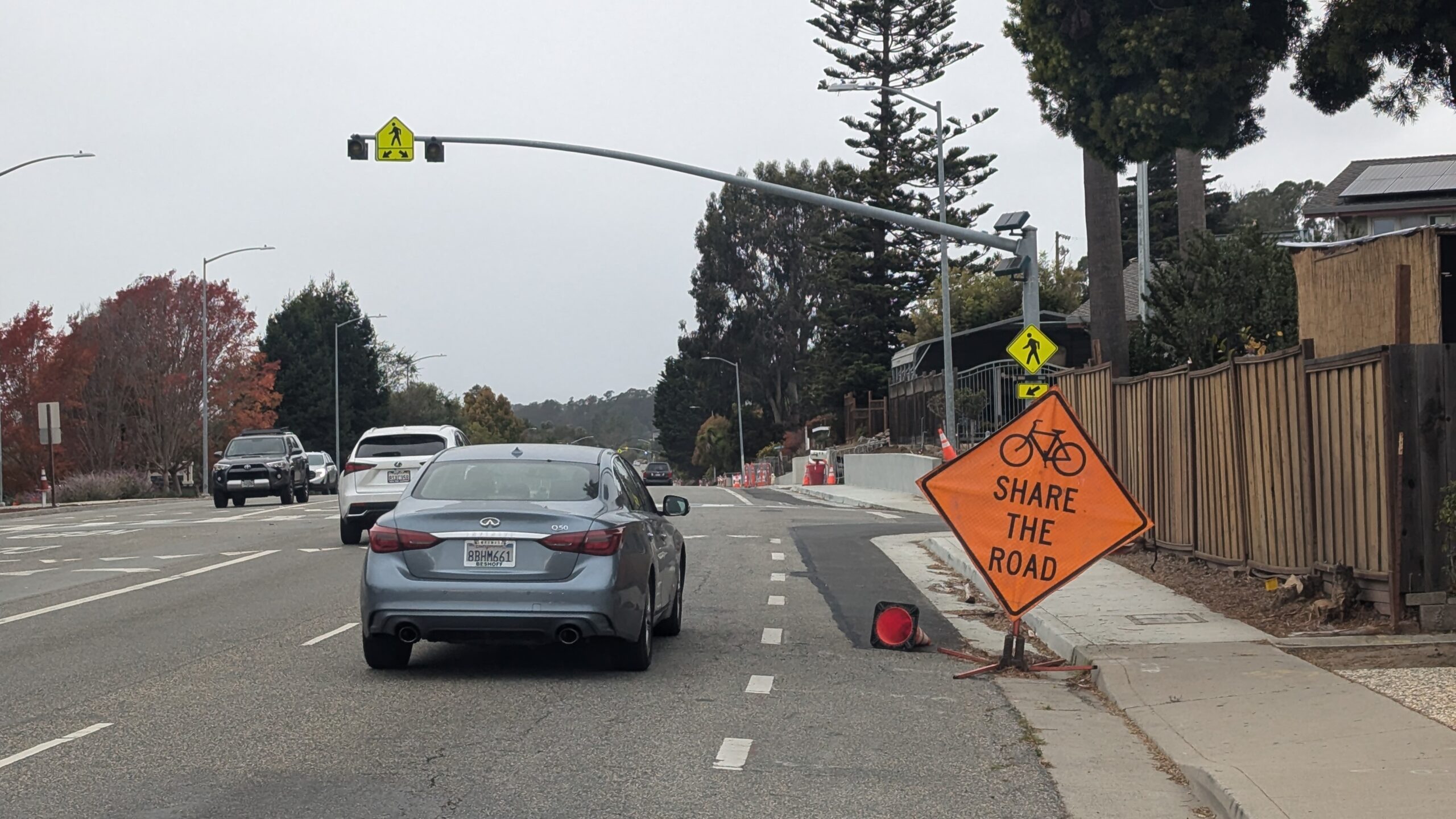
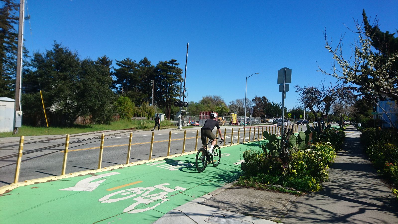
Soquel Drive bike lane project continues in Aptos, Soquel, Live Oak
County hopes to finish project in spring
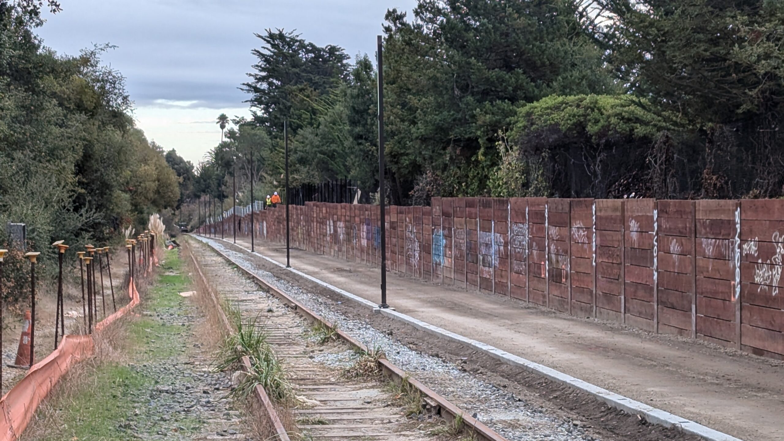
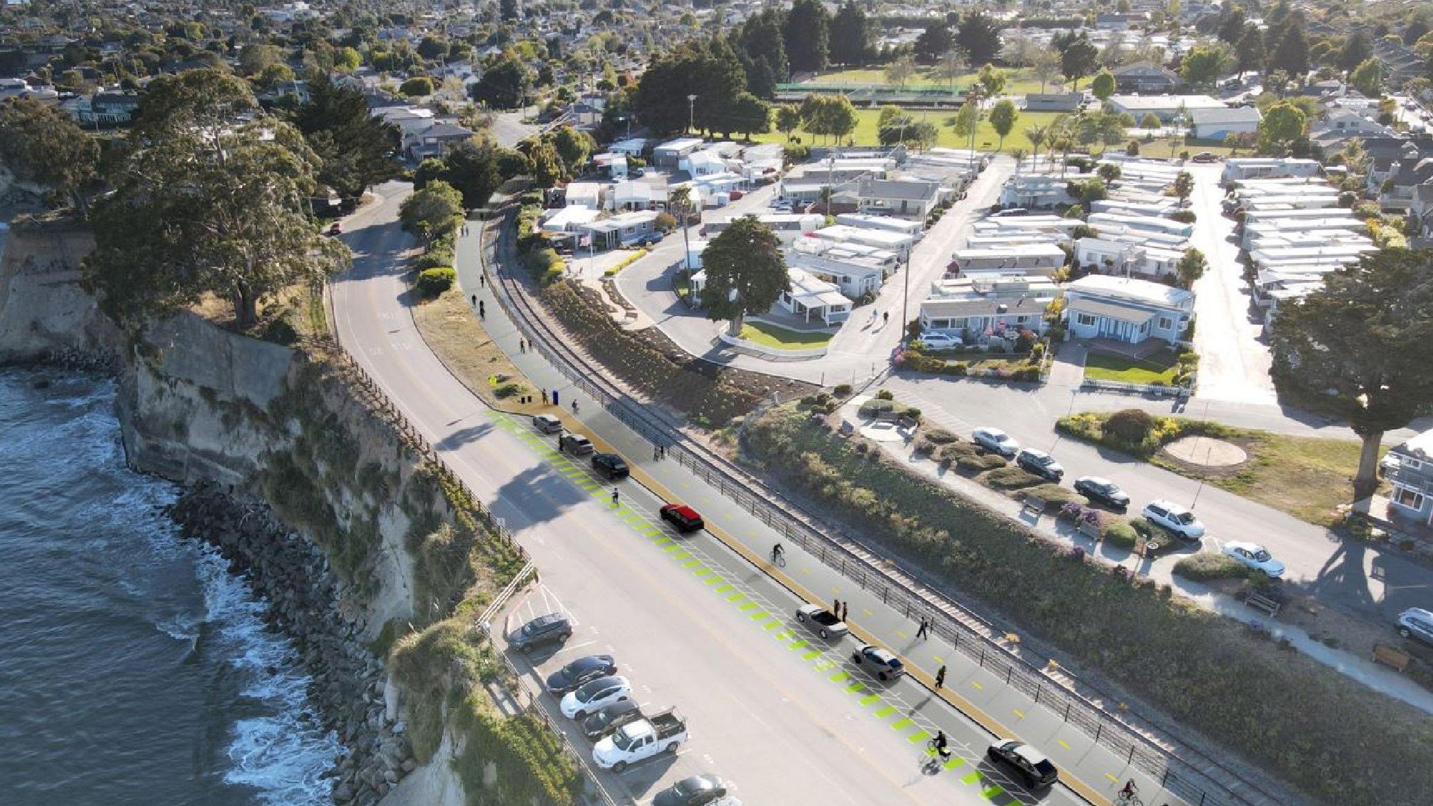
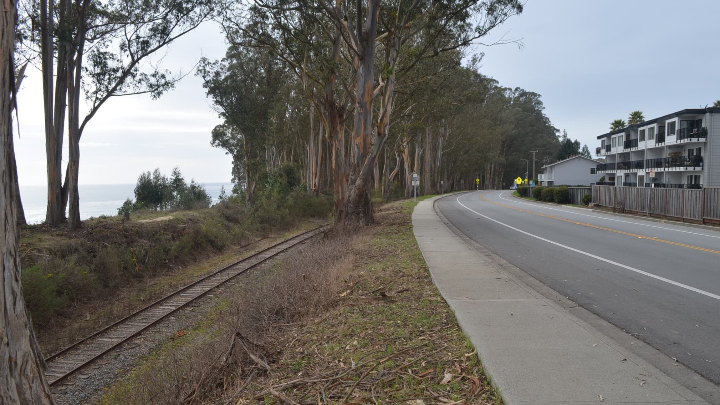
Westside Santa Cruz rail trail could open late December
Cost overruns, delays mount
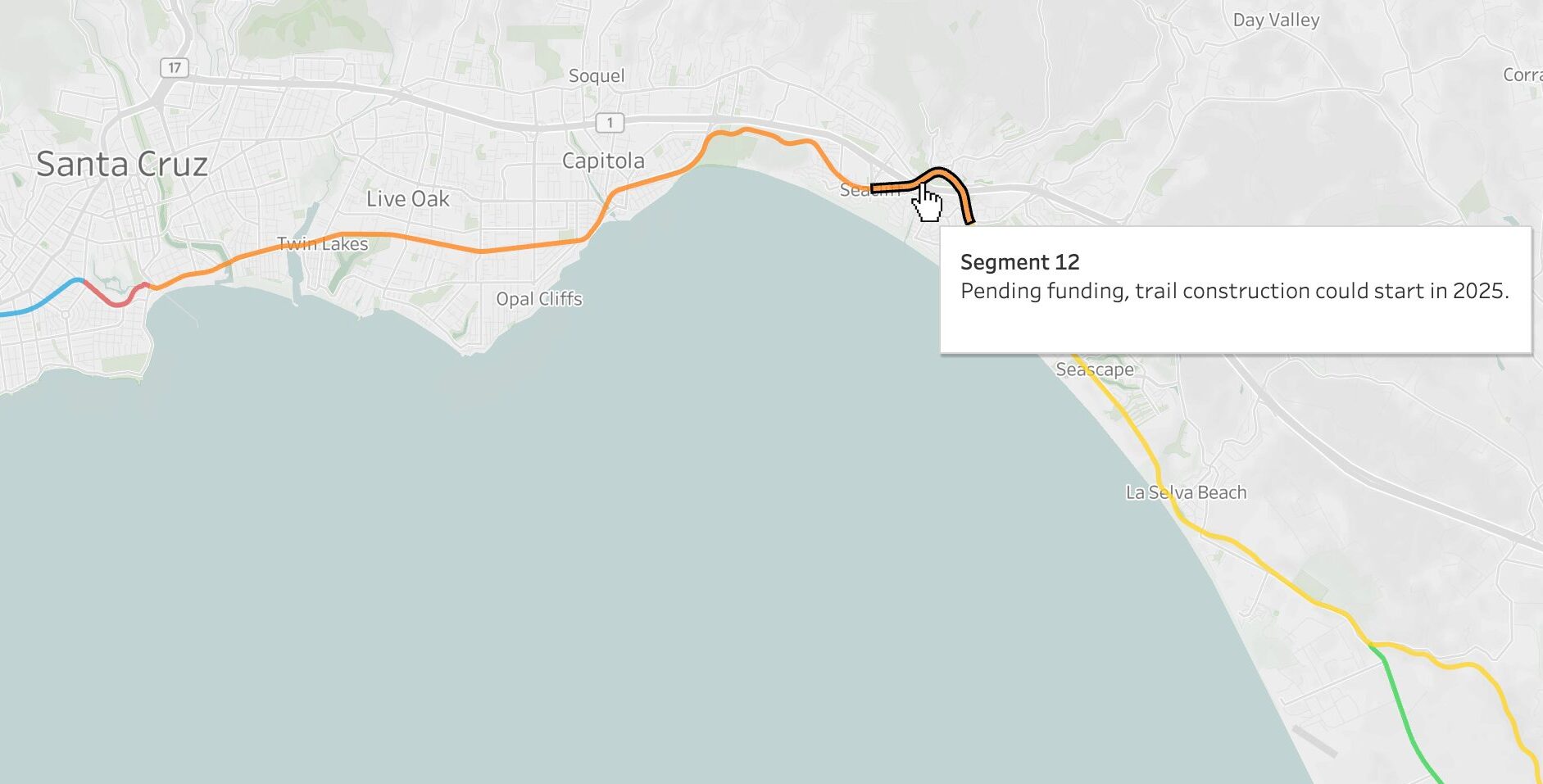
New rail-trail map tracks work in Santa Cruz, Live Oak, Capitola, Aptos
Updates on design, construction, funding
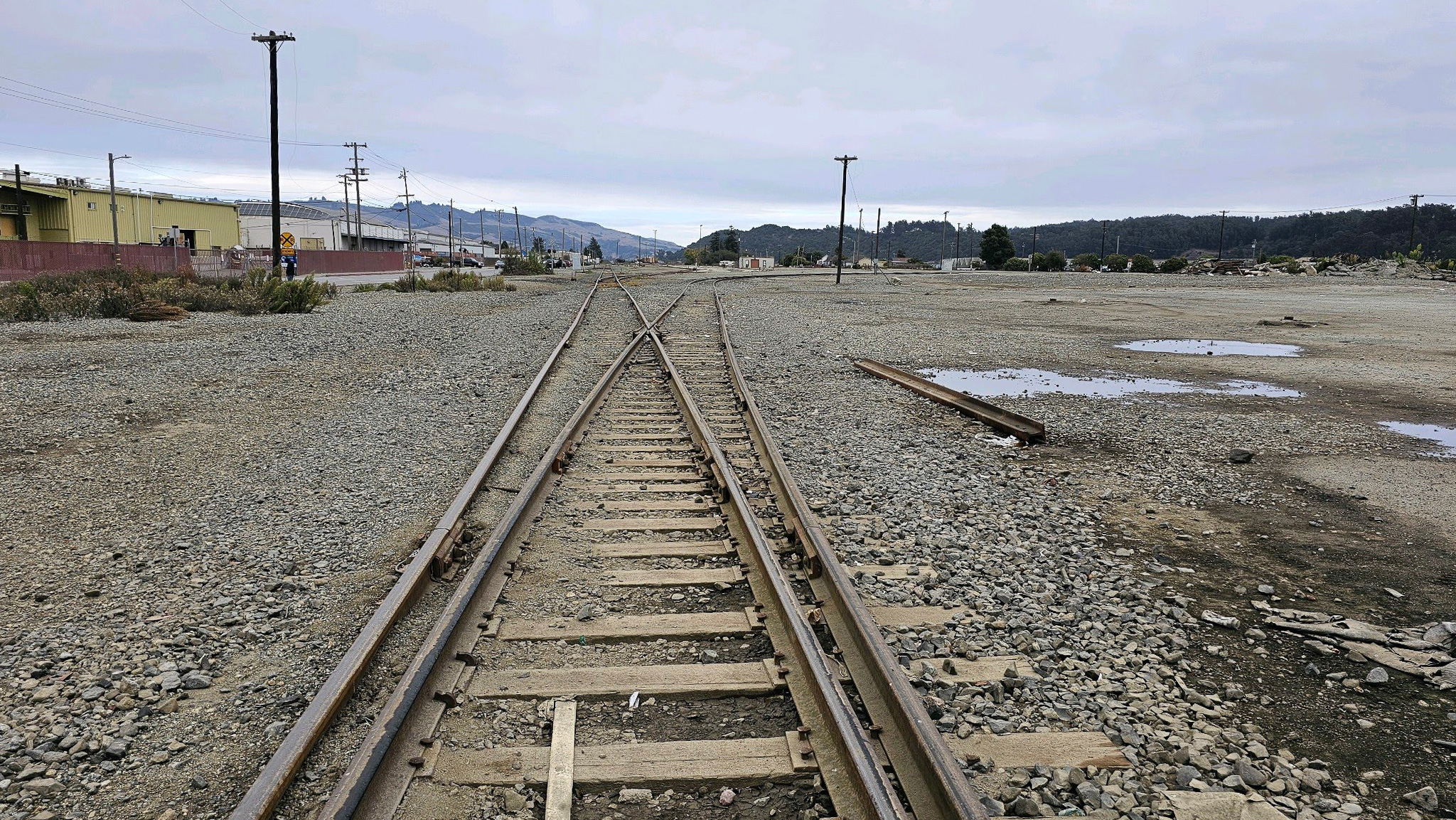
Un centro de transporte viene a Pajaro
Reunión comunitaria: miércoles 20 de noviembre